Subject: Atlases
Period: 1843 (published)
Publication:
Color: Hand Color
Size:
7.7 x 11.1 inches
19.6 x 28.2 cm
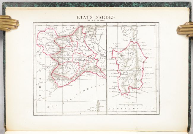
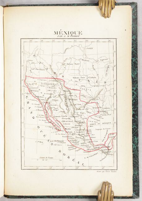
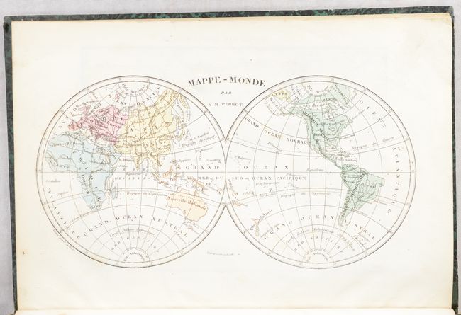
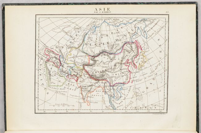
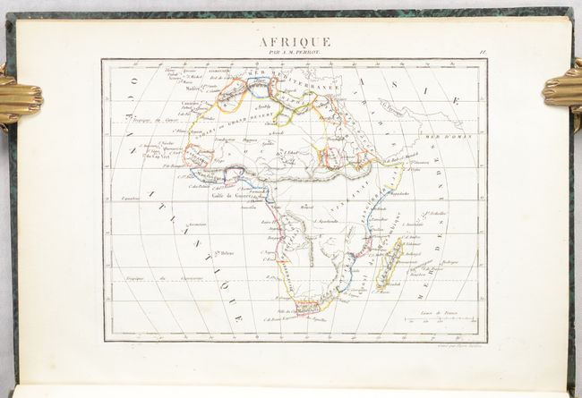
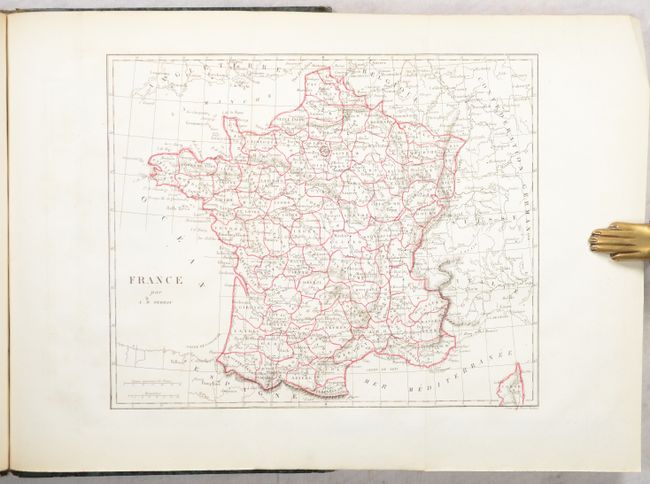
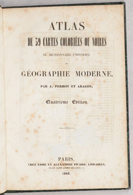
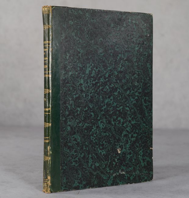
This comprehensive French atlas is complete with 59 maps, including 58 single-page maps and a folding map of France. The maps have attractive outline color, and show cities, towns, topography and watersheds. Of particular interest is the map of the United States (Etats-Unis) which labels the state of Missouri as Jefferson. Below Jefferson is a full-sized Arkansas Territory that stretches into most of present-day Oklahoma. To its north is a vast Missouri Territory in the middle of the country inhabited by Sioux, Osages, and other tribes. The Pacific Northwest is labeled as Columbia and extends north to the 54th parallel, a reflection of the famous 54-40 or Fight controversy. Hardbound in quarter green leather over marbled boards with gilt title and decorative elements on the spine.
References:
Condition: A
The maps are nice impressions with contemporary outline color, light toning along the edges of the sheet, and minor occasional foxing. The title page and list of maps are moderately foxed. The covers have bumped corners and a few small abrasions. The spine has a few abrasions as well and is becoming detached at top.