Subject: Atlases
Period: 1838 (published)
Publication:
Color: Hand Color
Size:
10.6 x 15 inches
26.9 x 38.1 cm
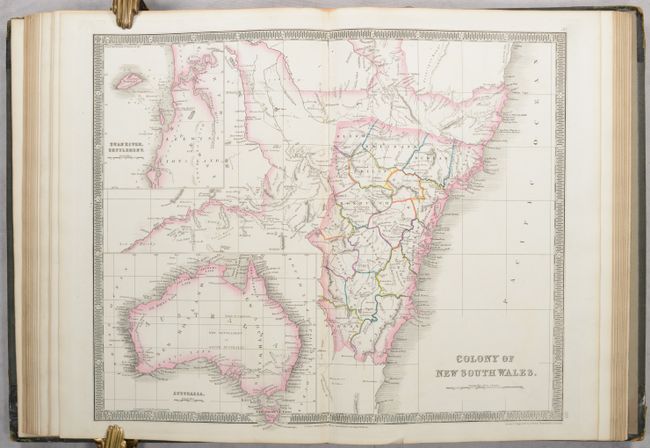
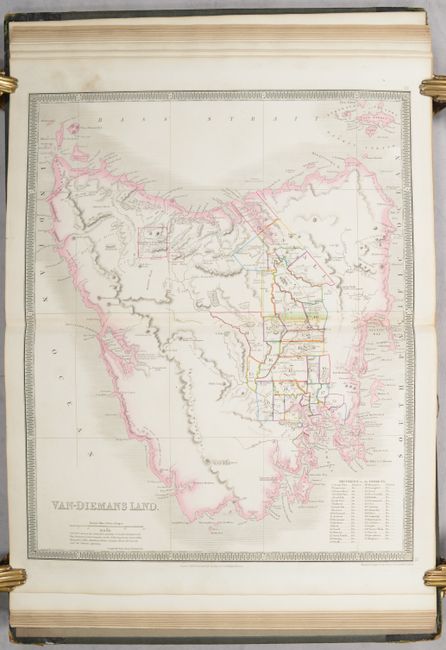
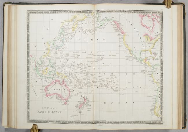
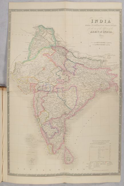
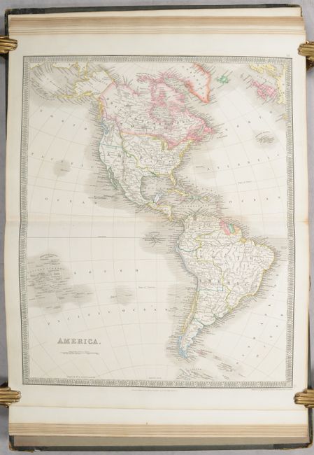
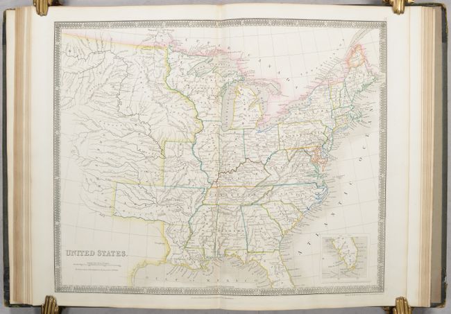
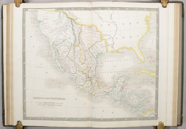
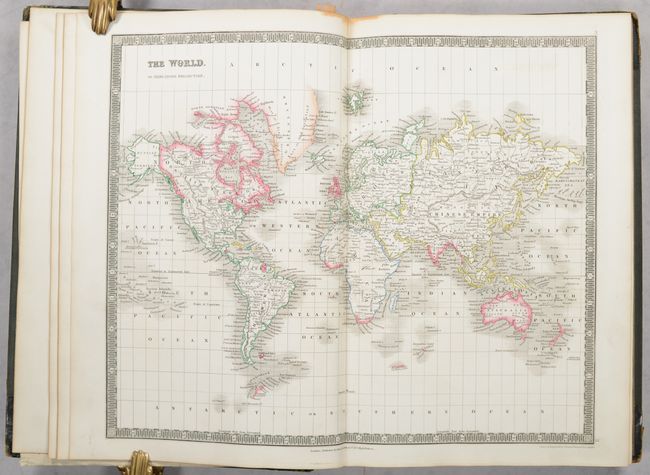
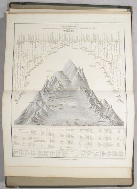
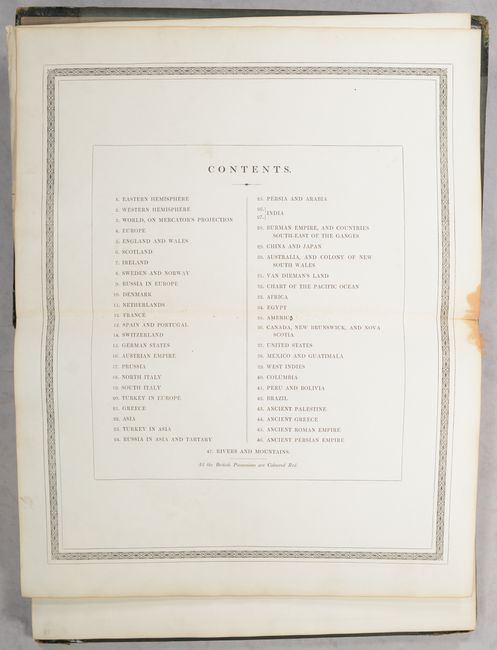
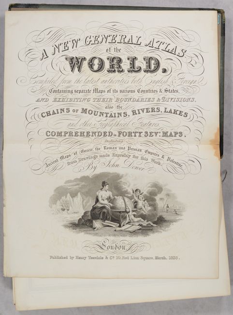
A fine British atlas containing 47 maps elegantly drawn and engraved by John Dower. The maps include the world (4), Europe (17), Asia (7), Australia (3), Africa (2), Americas (8), and ancient world (4), and show the full extent of the British Empire with consistent coloring throughout the atlas. All the maps are presented with excellent detail including roads, railways and canals. The large, foldout map of India shows a detailed view of the lands controlled by the British East India Company and the settlements of other European powers. The two maps of Australia (Colony of New South Wales and Van Diemen’s Land) show the extent of exploration, settlement and mining areas. The map of the Americas features a Fifty-Four Forty or Fight border with the U.S. extending well north into British America. At the back of the atlas are maps of the ancient world including the Empires of Greece, Rome and Persia, and a map of Ancient Palestine that includes an inset of Jerusalem. Hardbound in original quarter calf with tips over green cloth boards.
Henry Teesdale was a prominent London publisher and founding fellow of the Royal Geographical Society. He produced large-scale maps and charts and a number of fine atlases in the early part of the nineteenth century. He employed the most skilled draftsmen and engravers and his maps are renowned for precise detail and fine coloring. His maps, and particularly his atlases, are increasingly scarce on the market.
References:
Condition: A
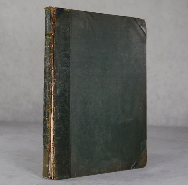
Condition code is for the maps, which are almost entirely near fine (A) to fine (A+) on bright sheets with contemporary outline color. The maps of the eastern and western hemisphere along with the title page and list of maps are very good with a dampstain entering the top border (B+). Front cover is detached and the rear cover is nearly detached. Boards are moderately worn and the spine is chipped at top and bottom. Given the favorable condition of the maps, this atlas would be an excellent candidate for professional rebinding.