Subject: Atlases
Period: 1800 (circa)
Publication:
Color: Hand Color
Size:
10.3 x 14 inches
26.2 x 35.6 cm
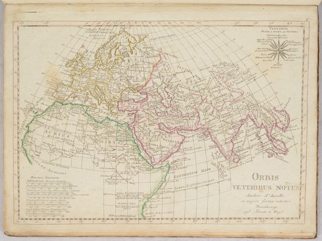
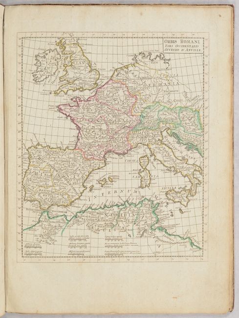
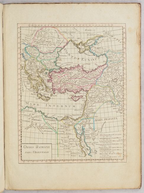
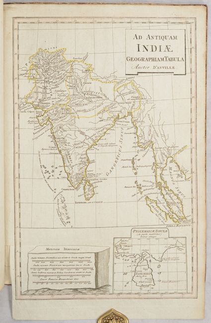
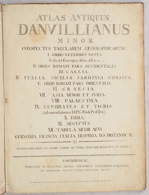
D'Anville's school atlases of the ancient world were quite popular, first appearing on the market in 1768, and republished in France, Germany and England through the early 19th century. This atlas includes 13 single-page, copper-engraved maps of the ancient world. The maps cover the area from Britain, east to India and part of Southeast Asia, and south to northern Africa, and contain very good detail of towns, cities, rivers and topography. The complete list of maps include:
Orbis Veteribus Notus
Orbis Romani, Pars Occidentalis
Orbis Romani Pars Orientalis
Gallia Antiqua
Italia Antiqua
Altes und Neues italien 1799
Graeciae Antiquae
Asiae, quae vulgo Minor Dicitur, et Syriae Tabula Geographica
Palaestinae
Euphratis et Tigris ... 1795
Ad Antiquam Indiae Geographiam Tabula
Aegyptus Antiqua
Germaniae, France, Italie Espagne, Isles Britanniques
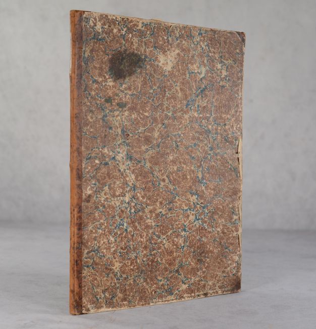
The maps are based on the work of Jean Baptiste Bourguignon d'Anville. Published by Schneider & Weigel. As the title page is not dated, the circa date is based on two of the maps, which are dated 1795 and 1799. Small folio. Hardbound in contemporary quarter calf with tips over marbled paper-covered boards.
References:
Condition: B+
The maps have contemporary outline color, light soiling, and occasional foxing. The covers are heavily worn and slightly cockled. There are ownership inscriptions on the inside front cover that are dated 1825 and 182[?].