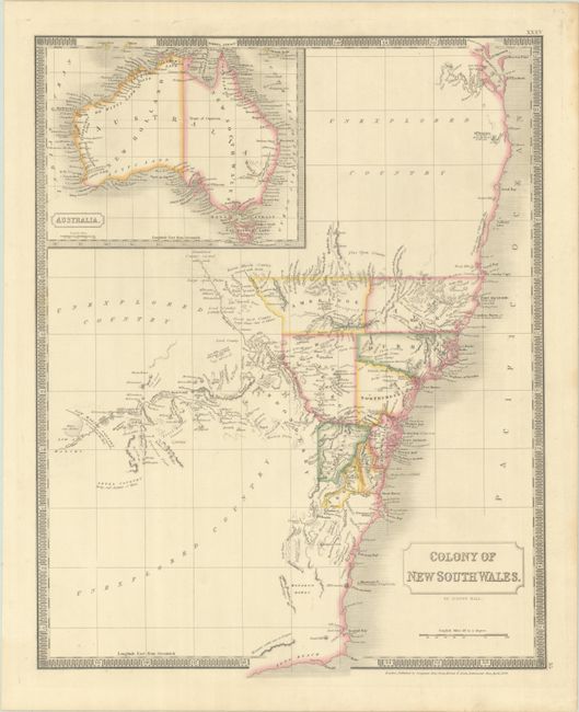
Subject: Southeastern Australia
Period: 1828 (dated)
Publication: A New General Atlas...
Color: Hand Color
Size:
16.4 x 20.6 inches
41.7 x 52.3 cm
This detailed map of New South Wales is divided into counties and shows a good amount of detail including topography, river systems and place names. Notations fill the gaps in the mapped areas including "fine open country", "barren marshy country covered with reeds" and "irregular range of high rocky hills." Beyond the organized regions are large sections of "Unexplored Country" to the north, south and west. Features an inset of the entire country at top left. Surrounded by a keyboard-style border. Published in London by Longman, Rees, Ome, Brown, and Green.
References:
Condition: A
Contemporary outline color on a sturdy sheet.


