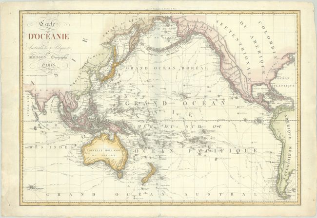
Subject: Pacific Ocean
Period: 1828 (dated)
Publication:
Color: Hand Color
Size:
29.9 x 20.8 inches
75.9 x 52.8 cm
This uncommon large chart focuses on the numerous explorations throughout the Pacific Ocean, including the tracks of Cook, Vancouver, La Perouse, Marchand and others along with the year that each journey took place. Detail includes not only all the known islands throughout the Pacific, but extends to include geographic detail in Asia, North America and South America, primarily focusing on mountains, rivers, and place names along the coasts. The map extends as far south as the Kerguelen Islands. Published by Basset in Paris.
References:
Condition: B+
A crisp impression with an archivally repaired 2.5" edge tear at top left. A chip in the lower left blank margin has been repaired with old paper.


