Catalog Archive
Auction 204, Lot 552

"Tabula Itineris Decies Mille Graecorum sub Cyro Contra Fratrem suum Artaxerxem, Regem Persarum...", Duval, Pierre

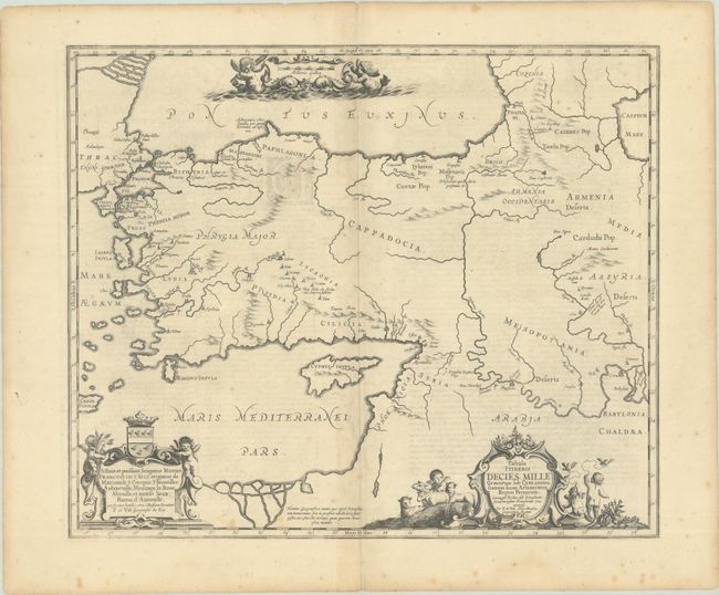
Subject: Middle East & Cyprus

Period: 1662 (circa)

Publication: Joannis Janssonii Novus Atlas...

Color: Black & White

Size:
19.6 x 16.4 inches
49.8 x 41.7 cm
Download High Resolution Image
(or just click on image to launch the Zoom viewer)

This historical map illustrates the region involved in the conquest of Cyrus the Great (558-528 BC), the founder of the Persian Empire under the Achaemenid dynasty. It covers all of Asia Minor through to Armenia and Babylon. Three superb cartouches featuring putti adorn the map, which was compiled and drawn by Pierre Duval for Jansson's historical atlas. Latin text on verso.

References: Van der Krogt (Vol. I) #8110H:1.

Condition: B+

There are archivally repaired centerfold separations at top and bottom that just touch the border, scattered foxing, and some light show-through from text on verso.

Estimate: $240 - $300

Unsold

Closed on 6/18/2025

Archived