Catalog Archive
Auction 204, Lot 517
"Nieuwe Kaart van Italie na de Nieuwste Waarnemingen van de l'Isle en Andere", Tirion, Isaac
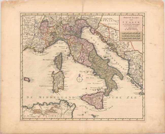
Subject: Italy
Period: 1745 (circa)
Publication: Nieuwe en Beknopte Hand Atlas
Color: Hand Color
Size:
14.9 x 12.9 inches
37.8 x 32.8 cm
Download High Resolution Image
(or just click on image to launch the Zoom viewer)
(or just click on image to launch the Zoom viewer)