Catalog Archive
Auction 204, Lot 493
"Carte Nouvelle de Moscovie Represente la Partie Septentrionale Dressee par G. de l Isle", Ottens, Reiner and Joshua
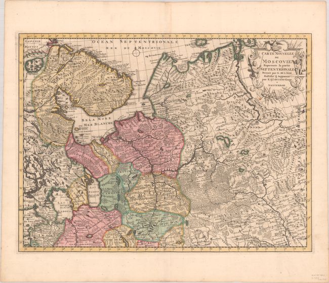
Subject: Russia in Europe
Period: 1730 (circa)
Publication:
Color: Hand Color
Size:
21.9 x 16.3 inches
55.6 x 41.4 cm
Download High Resolution Image
(or just click on image to launch the Zoom viewer)
(or just click on image to launch the Zoom viewer)