Catalog Archive
Auction 204, Lot 483
"[On 2 Sheets] Troisieme Partie de la Carte d'Europe Contenant le Midi de la Russie, la Pologne et la Hongrie, la Turquie y Compris Celle d'Asie Presqu'entiere", Anville, Jean Baptiste Bourguignon d'
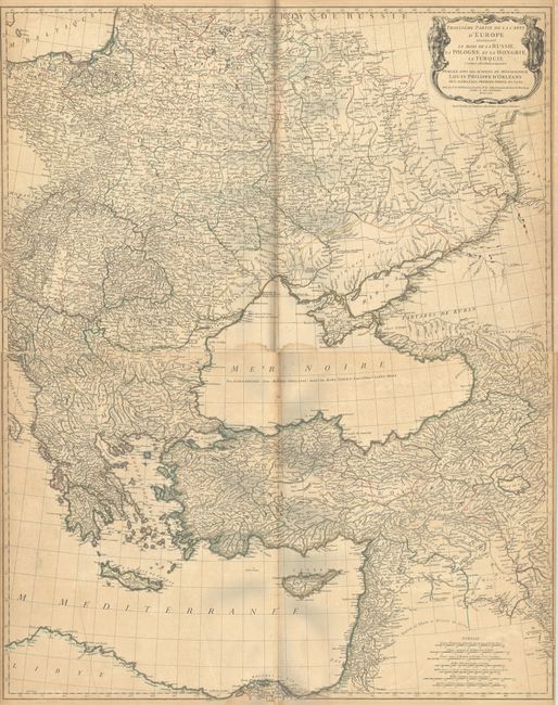
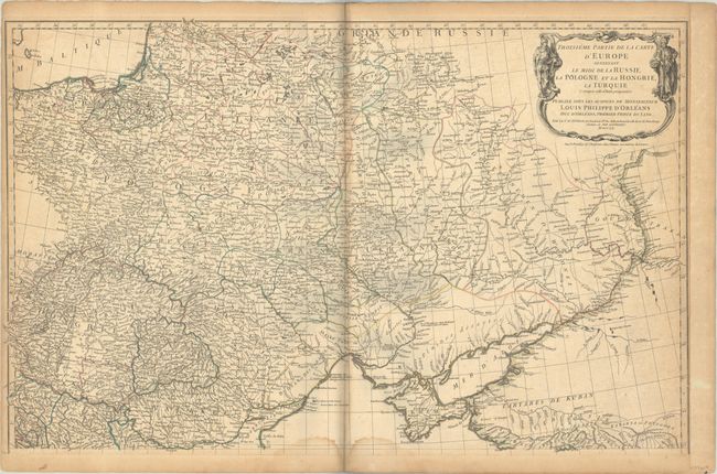
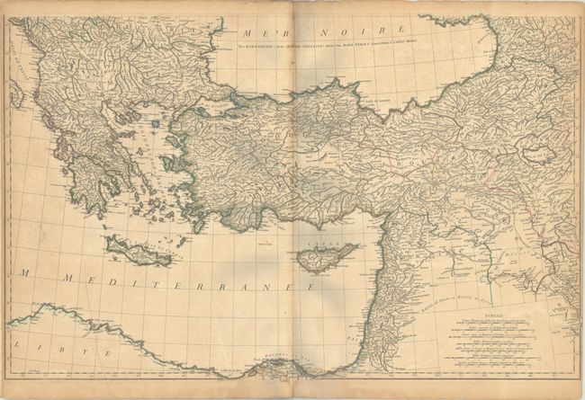
Subject: Eastern Europe & Eastern Mediterranean
Period: 1760 (dated)
Publication:
Color: Hand Color
Size:
32 x 20.4 inches
81.3 x 51.8 cm
Download High Resolution Image
(or just click on image to launch the Zoom viewer)
(or just click on image to launch the Zoom viewer)