Catalog Archive
Auction 204, Lot 462
"Duche de Pomeranie Contenant les Duches de Stettin, de Wolgats, de Bardt, de Cassubie, de Vandalie, la Principaute et Isle de Rugen, le Comte de Gutzkow...", Le Rouge, George Louis
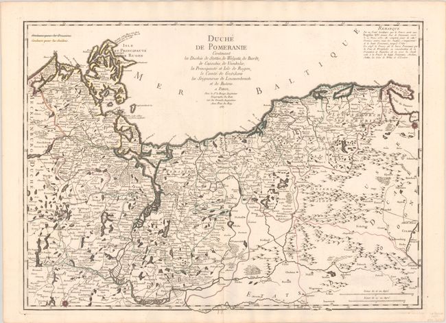
Subject: Northeastern Germany & Northwestern Poland
Period: 1757 (dated)
Publication:
Color: Hand Color
Size:
27.1 x 19.7 inches
68.8 x 50 cm
Download High Resolution Image
(or just click on image to launch the Zoom viewer)
(or just click on image to launch the Zoom viewer)