Catalog Archive
Auction 204, Lot 453
"Imp. Caes. Carolo VI. Augusto Pio Victori Gentis suae Sideri Felicissimo Chorographiam hanc Exhibentem...", Homann, Johann Baptist
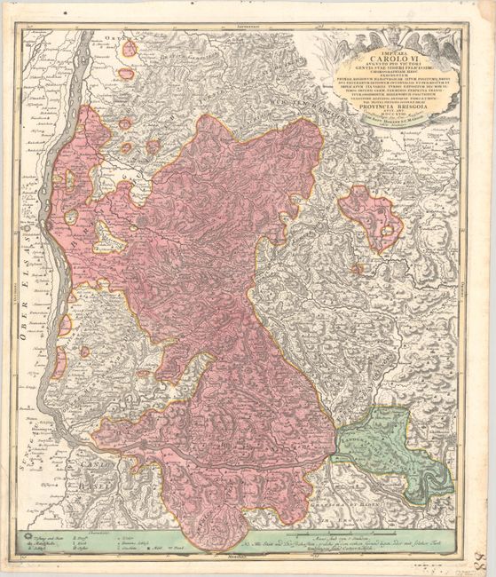
Subject: Southwestern Germany
Period: 1718 (circa)
Publication:
Color: Hand Color
Size:
19.3 x 22.8 inches
49 x 57.9 cm
Download High Resolution Image
(or just click on image to launch the Zoom viewer)
(or just click on image to launch the Zoom viewer)