Catalog Archive
Auction 204, Lot 445
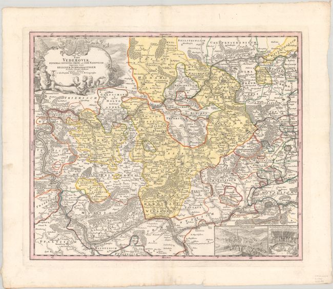
"Pars Vederoviae Plurimas Ditiones Princ. et Com, Nassovicor. Imprimis Vero Regionem Schwalbacensem...", Homann, Johann Baptist
Subject: Western Germany
Period: 1730 (circa)
Publication:
Color: Hand Color
Size:
22.3 x 18.6 inches
56.6 x 47.2 cm
Download High Resolution Image
(or just click on image to launch the Zoom viewer)
(or just click on image to launch the Zoom viewer)