Subject: Northern Germany
Period: 1610 (circa)
Publication: Atlas Minor
Color: Hand Color
Size:
7 x 5.5 inches
17.8 x 14 cm
A lovely pair of regional maps with Latin text on verso, published in 1610 or 1620.
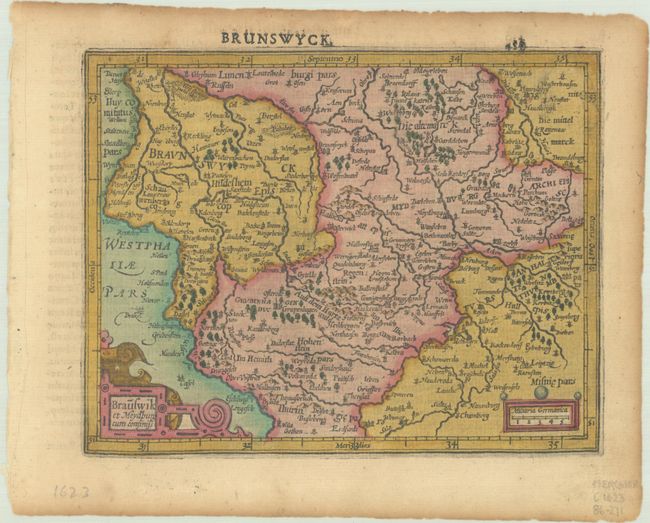
A. Brauswik et Meydburg cum Confinijs. A lovely little map of Braunschweig and Magdeburg, bounded by Hanover, Erfurt and Brandenburg. The map is filled with place names and is decorated with strapwork title and scale cartouches.
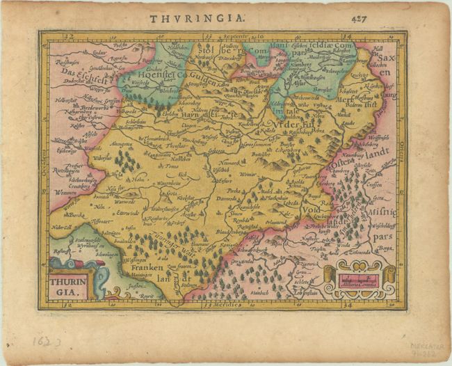
B. Thuringia. This detailed small map covers the region including Erfurt, Weimar and Gotha. It provides information on the extensive river system and locates hundreds of tiny villages. Strapwork title cartouche and scale of miles.
References: Van der Krogt (Vol. III) #2120:351 & #2260:352.1.
Condition: B+
Dark impressions on lightly toned sheets with a few minute worm holes only visible when held to light.