Current Auction
Lot 440
Current Auction

Price reduced by $30

"Nieuwe Kaart van de Beyersche en Oostenryksche Kreits", Tirion, Isaac

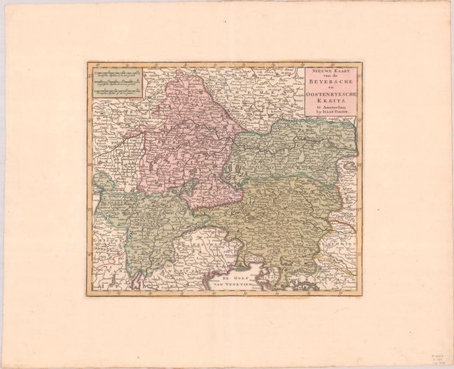
Subject: South-Central Europe

Period: 1744 (circa)

Publication: Nieuwe en Beknopte Hand-Atlas

Color: Hand Color

Size:
13.1 x 11.1 inches
33.3 x 28.2 cm
Download High Resolution Image
(or just click on image to launch the Zoom viewer)

Detailed map of the region of present-day Austria, southern Germany, Croatia and northern Italy. The map extends west to Ulm, Germany and Chur, Switzerland, north to Prague, Czech Republic, east to Vienna, Austria, and south to Padua, Italy. The map is filled with political boundaries, cities, and rivers.

References: Koeman, Tir 2 #32.

Condition: A+

A crisp impression with full contemporary color on a bright sheet with the watermark of "I. Villedary" and wide original margins.

Estimate: $140 - $170

Price: $70

Bid Increments
$50 - $99$5
$100 - $249$10
$250 - $499$25
$500 - $999$50
Terms & Conditions