Subject: Central Europe, Germany
Period: 1810 (dated)
Publication:
Color: Hand Color
Size:
40 x 45.5 inches
101.6 x 115.6 cm
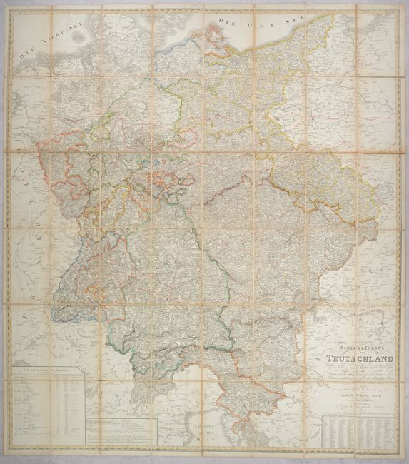
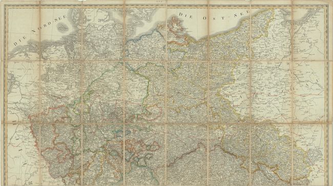
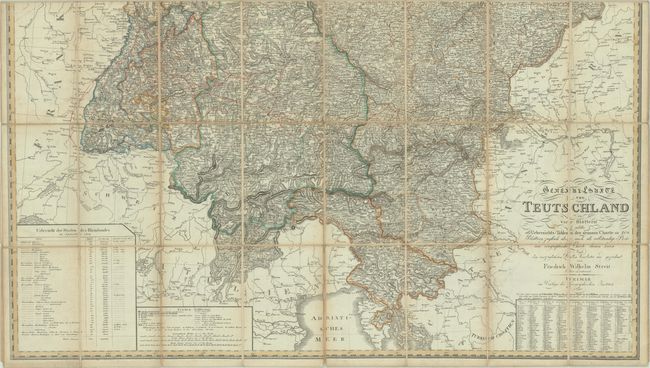
This mammoth map of the Confederation of the Rhine (much of present-day Germany) was issued during the Napoleonic Wars (1803-15) and was compiled for official purposes. It served as the summary map for a comprehensive series of 204 regional maps of the Confederation. It was executed in the typical precise German style with excellent topographical detail and a legend at bottom identifying cities, towns, market towns, villages, castles, fortresses, post offices, roads, boundaries, and more. A table at lower left lists the member states along with its size, population, and admission to the Confederation. At lower right is a listing of various localities and their corresponding location on one of the 204 detailed sheets. Published by the Geographical Institute in Weimar. Dissected and backed with contemporary linen. No slipcase is present.
References:
Condition: B+
Contemporary color with a few spots of foxing. Dissected and backed with contemporary linen which has split along a few folds and has been repaired on verso with paper tape.