Subject: Central Europe, Atlas
Period: 1788 (published)
Publication:
Color: Black & White
Size:
10.8 x 15.6 inches
27.4 x 39.6 cm
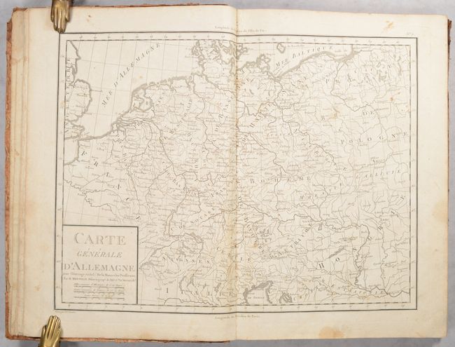
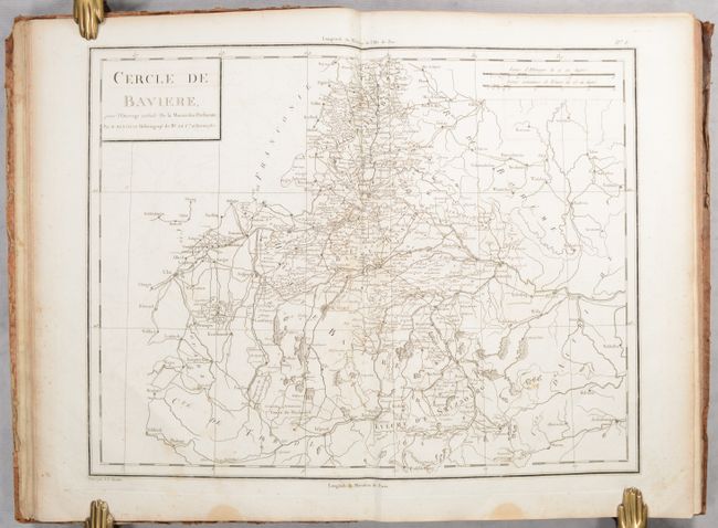
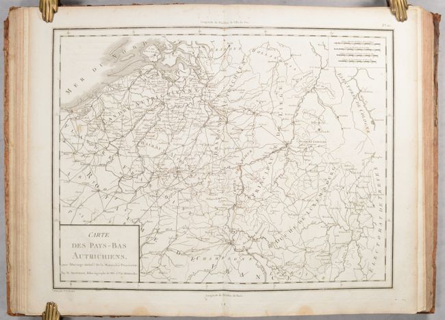
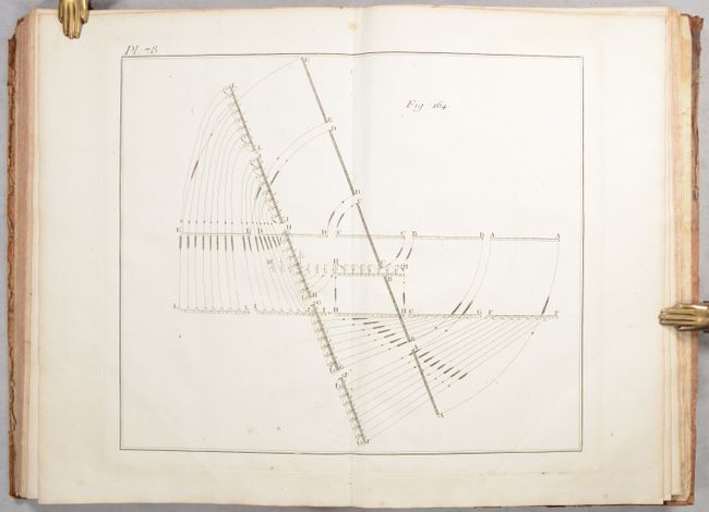
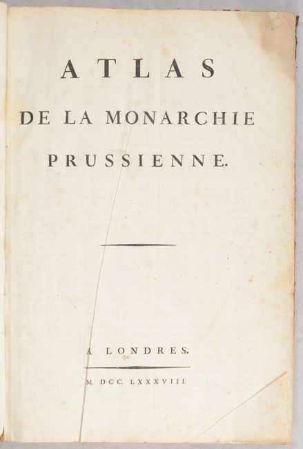
This atlas was published to accompany Honoré Gabriel Victor Riquetti Mirabeau's De la Monarchie Prussienne, sous Frédéric le Grand. It contains 10 maps of central Europe engraved by Pierre Francois Tardieu and 93 engravings of military plans with various formations and marching patterns. The maps are:
A. Carte Generale d'Allemagne
B. Carte de la Monarchie Prussienne
C. Possessions de Roi de Prusse
D. Carte de la Haute Saxe et de la Lusace
E. Carte des Cercles du Haut et Bas Rhin
F. Cercle de Baviere
G. Carte de la Boheme et de la Moravie
H. Etats Orientaux de l'Empereur
I. Carte du Comte de Tirol et des Possessions de la Maison d'Autriche
J. Carte des Pays-Bas Autrichiens
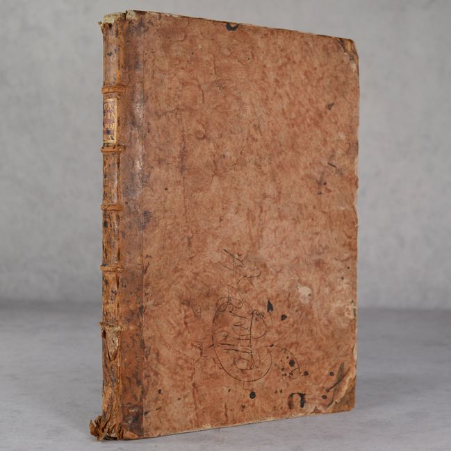
Large folio. 10 maps, 93 engravings, title page, and 4 pp. text that gives explanations of each map. Hardbound in quarter leather with tips over marbled paper-covered boards; raised bands and red leather label with gilt title on spine.
References:
Condition: B+
The maps have very light foxing and soiling, mostly confined to the blank margins. The map of "Monarchie Prussienne" has moderate toning and a stain along the Baltic and is only in "B" condition. The engravings are also in very good condition with occasional foxing and soiling. The title pages have moderate soiling. The covers have bumped corners with soiling, old manuscript ink notations, and abrasions. The spine has some cracking and several chips at bottom.