Subject: Paris, France
Period: 1834 (circa)
Publication:
Color: Black & White
Size:
32.8 x 20.9 inches
83.3 x 53.1 cm
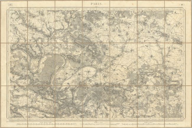
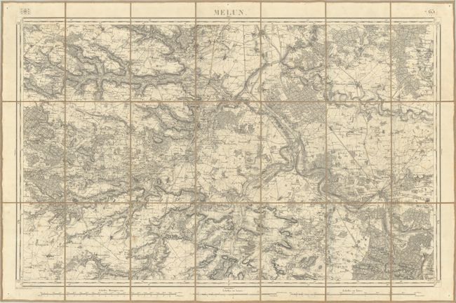
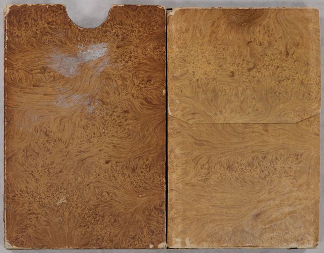
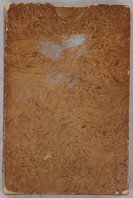
Two very detailed maps of the vicinity of Paris that follow the Seine River. The first map extends from Meulan to Jablines with the city of Paris at bottom center. The second map, directly to the south of the Paris sheet, extends from Sceaux south to Etampes and from Arnoult west to Melun. Each shows fine detail of topography, land types, rivers, roads, railroads, city streets, individual buildings, and much more. Three distance tables are shown below each map. Drawn and engraved at the General War Depot under the direction of Lieutenant General Pelet. Published by Auvray. Maps fold into a stiff paper board slipcase (5.3 x 8.0").
References:
Condition: B+
On bright sheets with some occasional faint foxing. Dissected and backed with contemporary linen. Slipcase has moderate wear, and the paper insert that folds around the two maps has separated into two pieces.