Catalog Archive
Auction 204, Lot 422
"Comitatus Ruscinonis, Vulgo Roussillon, in quo Episcopatus Helenensis, Gallice Evesche d'Elne ou de Perpignan", Blaeu, Johannes
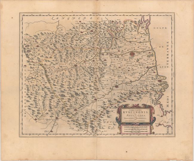
Subject: Southern France
Period: 1659 (circa)
Publication:
Color: Hand Color
Size:
20.4 x 16.3 inches
51.8 x 41.4 cm
Download High Resolution Image
(or just click on image to launch the Zoom viewer)
(or just click on image to launch the Zoom viewer)