Catalog Archive
Auction 204, Lot 421
"Le Gouvernement General du Duche de Bourgogne et de la Bresse, ou sont Divisez Onze Grands Balliages et Dix Balliages Subalternes...", Jaillot, Alexis-Hubert
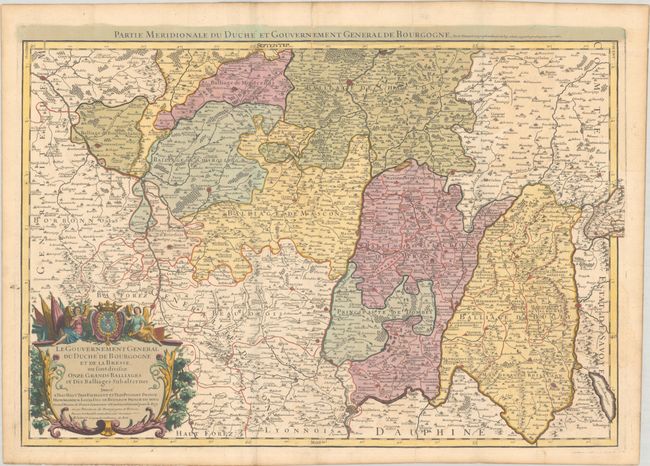
Subject: Eastern France
Period: 1718 (circa)
Publication:
Color: Hand Color
Size:
27.4 x 18.5 inches
69.6 x 47 cm
Download High Resolution Image
(or just click on image to launch the Zoom viewer)
(or just click on image to launch the Zoom viewer)