Subject: France
Period: 1904 (dated)
Publication:
Color: Printed Color
Size:
31 x 27 inches
78.7 x 68.6 cm
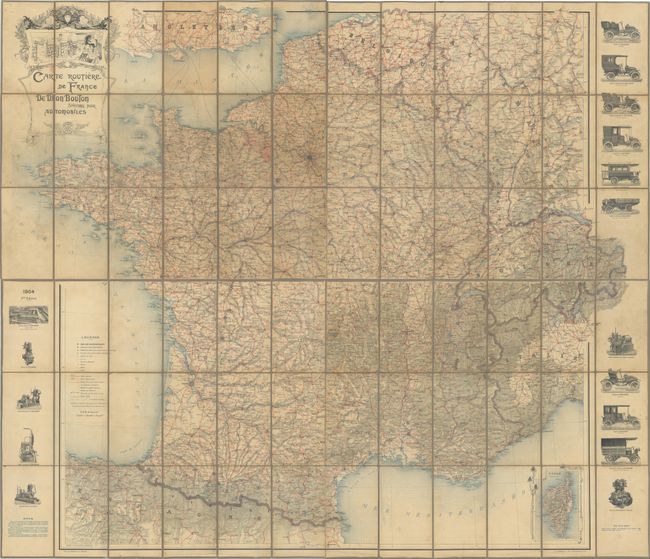
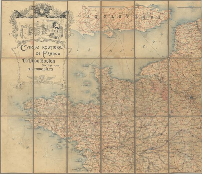
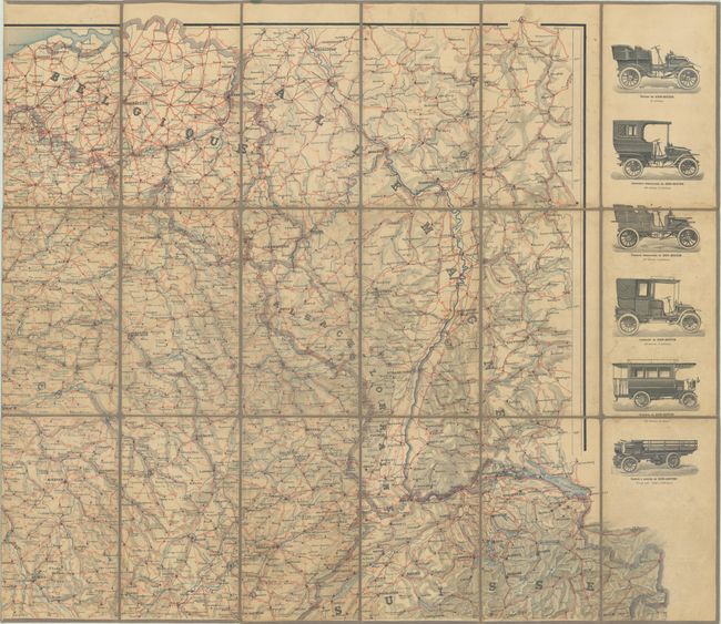
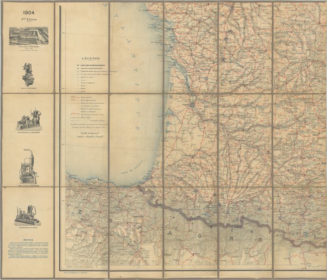
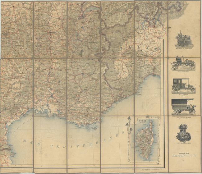
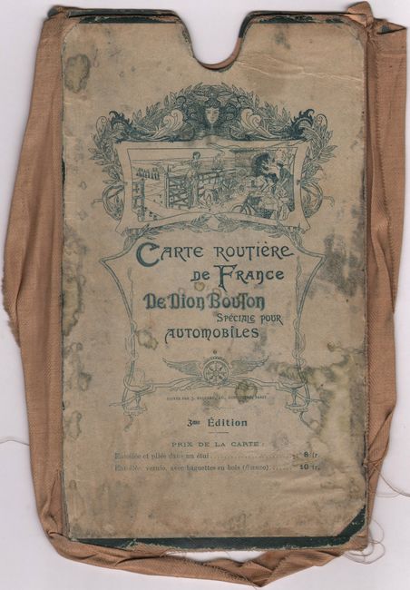
This is the third edition of this early automobile map covering the whole of France by the De Dion-Bouton automobile manufacturer at the beginning of the 20th century. The map is printed on four sheets and is loaded with details including roads, highways, canals, rivers and place names. Flanking the map at left and right are illustrations of various engines and early vehicle models including the coupe, limousine, delivery truck and oil truck. De Dion-Bouton was the largest carmaker in the world at the time, and their roadmaps served as a very popular accessory to the privileged few who owned automobiles. Edited by J. Barreau and printed by E. Dufrenoy. Dissected and backed with contemporary linen. If joined together, the map would measure approximately 62" x 54". Accompanied by the original, though defective, slipcase.
References:
Condition:
There is light soiling and staining that is more prominent on the northeast (title) sheet. Dissected and backed with contemporary linen. Slipcase is defective, with the linen edging separating from the boards. Northeast sheet (B)/ Remaining sheets (B+). The first image is a composite image - the map is in 4 separate sheets.