Catalog Archive
Auction 204, Lot 408
"Theatre de la Guerre ou Carte Nouvelle du Cours du Rhin au Dessus de Strasbourg, et les Pays Adjacens par G. de l'Isle Geogr", Ottens, Reiner and Joshua
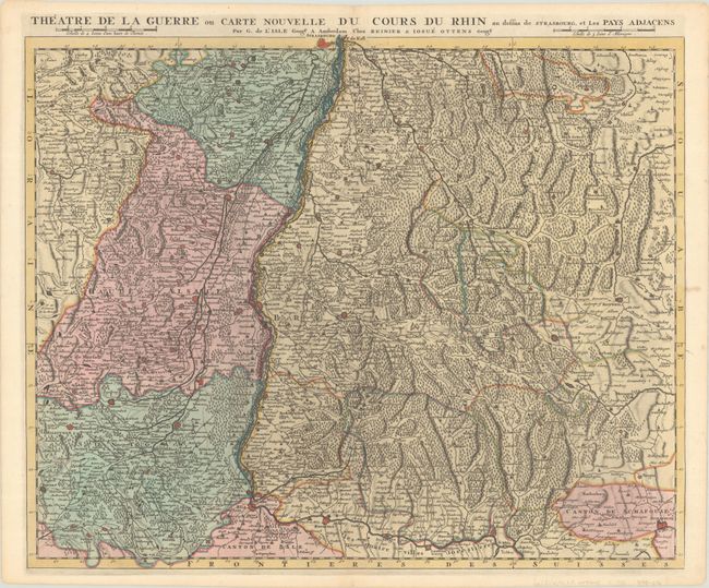
Subject: Western Europe, Rhine River
Period: 1720 (circa)
Publication:
Color: Hand Color
Size:
23.3 x 19 inches
59.2 x 48.3 cm
Download High Resolution Image
(or just click on image to launch the Zoom viewer)
(or just click on image to launch the Zoom viewer)