Catalog Archive
Auction 204, Lot 399
"Comitatus Namurci Emendata Delineatio, Nuperrime in Lucem", Visscher/Schenk
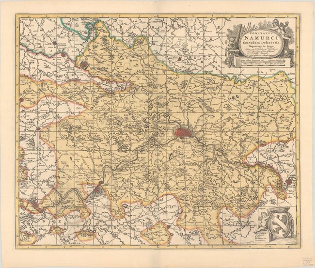
Subject: Southeastern Belgium
Period: 1690 (circa)
Publication:
Color: Hand Color
Size:
22 x 18.2 inches
55.9 x 46.2 cm
Download High Resolution Image
(or just click on image to launch the Zoom viewer)
(or just click on image to launch the Zoom viewer)