Catalog Archive
Auction 204, Lot 396
"Flandriae Teutonicae Pars Orientalior", Blaeu, (Family)
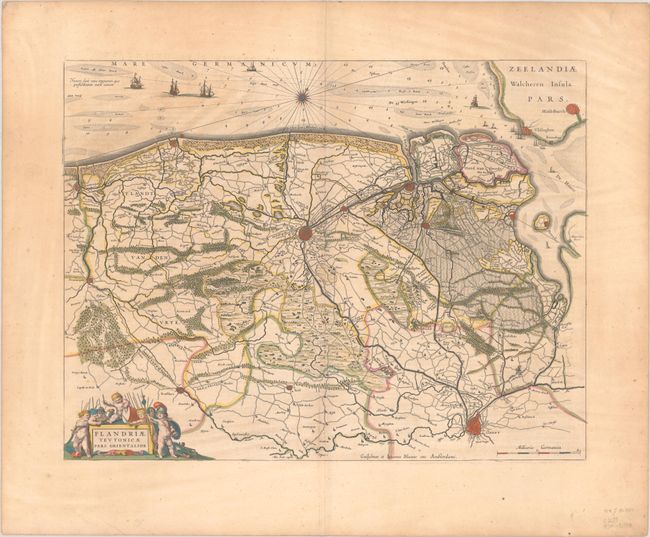
Subject: Western Belgium
Period: 1640 (circa)
Publication:
Color: Hand Color
Size:
19.7 x 15.1 inches
50 x 38.4 cm
Download High Resolution Image
(or just click on image to launch the Zoom viewer)
(or just click on image to launch the Zoom viewer)