Catalog Archive
Auction 204, Lot 390
"[On 2 Sheets] Contado d'Ollanda, Parte Settentrionale... [and] Contado d'Ollanda Parte Meridionale…", Coronelli, Vincenzo Maria
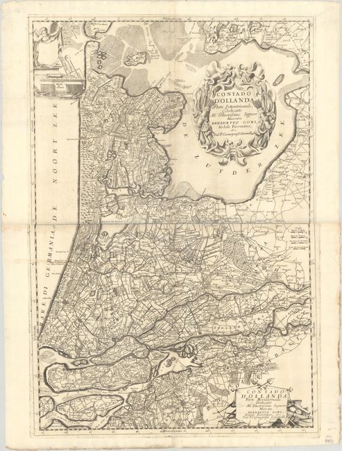
Subject: Western Netherlands
Period: 1695 (circa)
Publication:
Color: Black & White
Size:
23.8 x 35 inches
60.5 x 88.9 cm
Download High Resolution Image
(or just click on image to launch the Zoom viewer)
(or just click on image to launch the Zoom viewer)