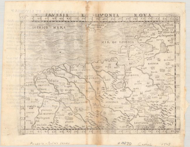
Subject: Baltic
Period: 1548 (published)
Publication: La Geografia di Cladio Ptolemeo Alessandrino...
Color: Black & White
Size:
6.8 x 5 inches
17.3 x 12.7 cm
This handsome map is one of the earliest modern maps of the Baltic region available to collectors. It covers from Haapsalu, Estonia south to northern Poland. There are pictorial renderings of topography throughout the map, and many cities are identified, including Riga, Vilnius, Duneborg (Daugava), and Memel (Klaipeda). The islands of Ossilia (Hiiumaa) and Schlole (Saaremaa) are located, as is part of Gotland in the west. North is oriented to right. Italian text on verso.
With maps engraved on copper, Gastaldi's work was conceived as the first "pocket" or miniature atlas. His monumental work was the most comprehensive atlas produced between Waldseemuller's Geographiae of 1513 and Ortelius' Theatrum of 1570.
References: Mickwitz & Miekkavaara #214-20.
Condition: B
There is toning around the centerfold, a short separation along the centerfold at bottom, and a small wormtrack at top.


