Catalog Archive
Auction 204, Lot 374
"Nova Mappa Geographica Sueciae ac Gothiae Regna ut et Finlandiae Ducatum ac Lapponiam, cum Provinciis Minoribus, ob Oculos Ponens...", Lotter, Tobias Conrad
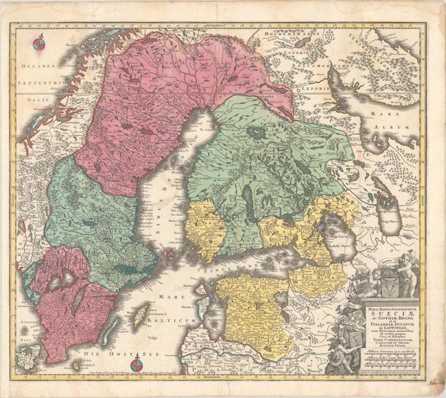
Subject: Scandinavia
Period: 1760 (circa)
Publication:
Color: Hand Color
Size:
22.7 x 19.6 inches
57.7 x 49.8 cm
Download High Resolution Image
(or just click on image to launch the Zoom viewer)
(or just click on image to launch the Zoom viewer)