Catalog Archive
Auction 204, Lot 373
"Les Royaumes de Suede et de Norwege, Divises en Leurs Provinces ou Gouvernemens", Robert de Vaugondy, Didier
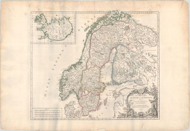
Subject: Scandinavia
Period: 1756 (dated)
Publication: Atlas Universel
Color: Hand Color
Size:
22.5 x 19.3 inches
57.2 x 49 cm
Download High Resolution Image
(or just click on image to launch the Zoom viewer)
(or just click on image to launch the Zoom viewer)