Catalog Archive
Auction 204, Lot 369
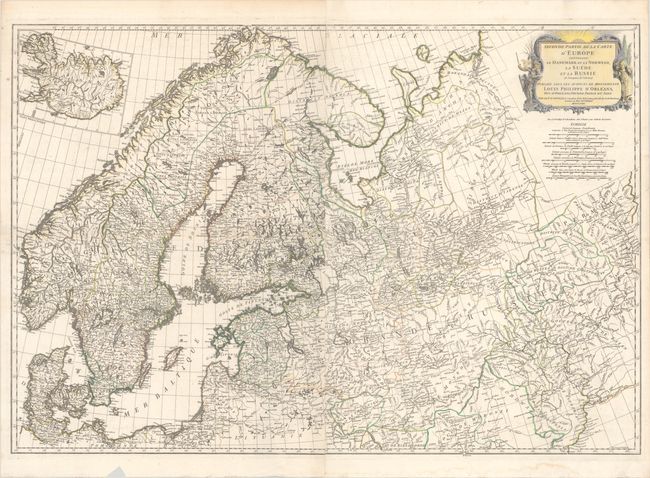
"Seconde Partie de la Carte d'Europe Contenant le Danemark et la Norwege, la Suede et la Russie (a l'Exception de l'Ukraine)...", Anville, Jean Baptiste Bourguignon d'

Subject: Northern Europe
Period: 1758 (dated)
Publication:
Color: Hand Color
Size:
39.6 x 27.3 inches
100.6 x 69.3 cm
Download High Resolution Image
(or just click on image to launch the Zoom viewer)
(or just click on image to launch the Zoom viewer)

