Catalog Archive
Auction 204, Lot 363
"Southerlandia", Blaeu, Johannes
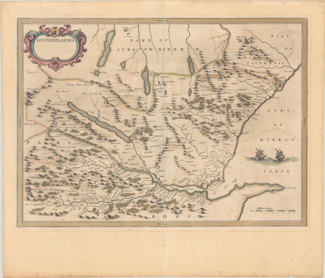
Subject: Northern Scotland
Period: 1654 (circa)
Publication: Toonneel des Aerdrycx ost Nieuwe Atlas...
Color: Hand Color
Size:
20.8 x 15 inches
52.8 x 38.1 cm
Download High Resolution Image
(or just click on image to launch the Zoom viewer)
(or just click on image to launch the Zoom viewer)