Subject: Eastern England, Cambridge
Period: 1750-1885 (circa)
Publication:
Color: Hand Color
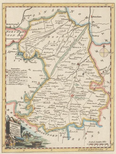
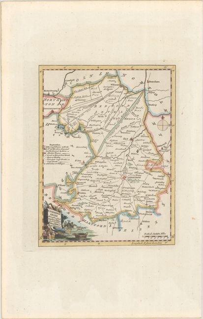
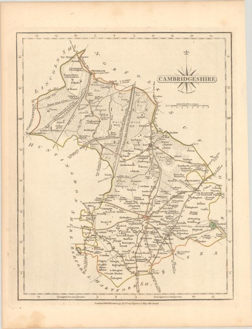
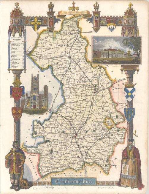
A wonderful set of Cambridge maps showing the region's development over a 135 year period:
A. Cambridge Shire Drawn from ye Best Surveys & Maps Corrected from Astronl. Observns., by Thomas Kitchin, circa 1750 (6.6 x 8.6"). This map presents the early road system with the town of Cambridge located in the lower center portion of the sheet. A key at left identifies towns, market towns, post roads, and more. Adorned by a decorative title cartouche. Condition: A crisp impression on a clean sheet with wide margins.
B. Cambridgeshire, by John Cary, dated 1793 (8.4 x 10.3"). A similar map to the above with mileages added to the major roads and marshy vegetation indicated in the Fens region. Accompanied by a related page of text. Condition: Contemporary outline color with a few small stains in the blank margins.
C. Cambridgeshire, by Thomas Moule, circa 1850 (8.0 x 10.6"). This attractive steel-engraved map provides detailed information of the cities, towns, roads, canals and parks in Cambridgeshire. Surrounding the map are vignettes of Wimpole and Ely Cathedral and an elaborate border with coats of arms, a king and a priest. Condition: Clean and colorful with a minor crease in the bottom left corner of the sheet.
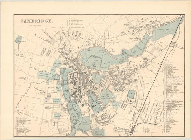
D. Cambridge, by George W. Bacon, circa 1885 (12.3 x 8.8"). This map was originally issued on a larger sheet along with a map of Oxford. Highly detailed, it presents the street grid pattern along with individual buildings, college grounds, botanical gardens, commons, and more. 74 locations are keyed to the map. Condition: Clean and bright with a narrow bottom margin.
References:
Condition: A
See description above for details.


