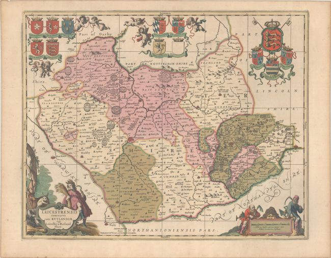
Subject: Central England
Period: 1700 (circa)
Publication:
Color: Hand Color
Size:
21.6 x 17.3 inches
54.9 x 43.9 cm
This decorative county map of Leicestershire is divided into its hundreds and shows towns and cities, parks, hills, rivers, and more. The map embellished with the arms of England, the arms of important families of Leicestershire, a distance scale that is flanked by a pair of miners, and a title cartouche that features wildlife and a female figure representing the harvest. Based largely on John Speed's map of the county, this map was first issued by Jan Jansson in 1646. Petrus Schenk acquired the plate from Jansson's heirs and reissued the map with the imprint of his publishing partnership and with the addition of lines of latitude and longitude. Blank verso.
References: cf. Van der Krogt (Vol. I) #5320:1.
Condition: A
A sharp impression with full contemporary color and light toning along the edges of the sheet.


