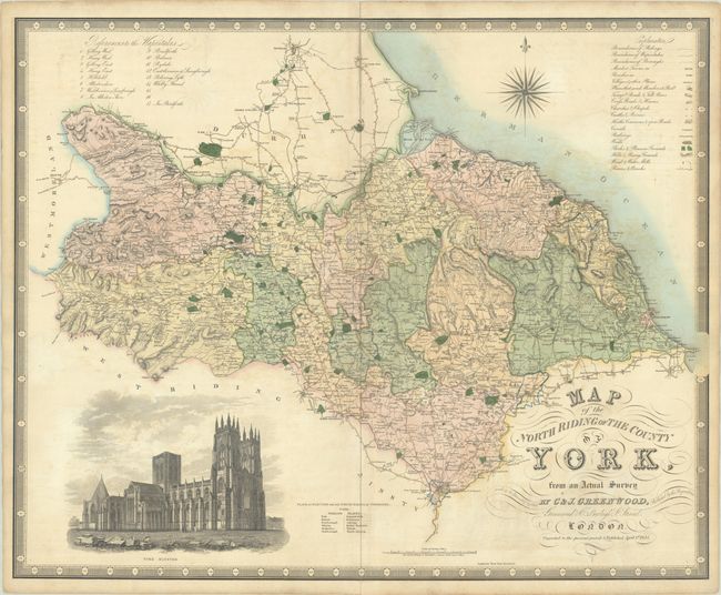
Subject: Northern England
Period: 1834 (dated)
Publication:
Color: Hand Color
Size:
29.6 x 23.9 inches
75.2 x 60.7 cm
This large and decorative map of North Riding (Yorkshire) was published by the famous Greenwood firm. It depicts the region from the city of York north to Darlington and from Brough east to Whitby. A comprehensive key at top right identifies boundaries, market towns, parishes, villages, various roads, canals, railways, woods, castles, churches, parks, and more. The map is decorated by a large illustration of York Minster and an elaborate compass rose in the North Sea.
References:
Condition: B+
On sturdy watermarked paper with contemporary color. There is light offsetting and a number of centerfold separations that have been closed on verso with tape.