Catalog Archive
Auction 204, Lot 328
NO RESERVE
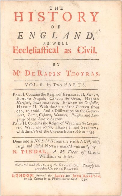
"A New Map of England Scotland and Ireland", Tindal, Nicholas
Subject: Britain
Period: 1730 (published)
Publication: The History of England ... Vol. II
Color: Black & White
Size:
13.5 x 15.2 inches
34.3 x 38.6 cm
Download High Resolution Image
(or just click on image to launch the Zoom viewer)
(or just click on image to launch the Zoom viewer)


