Catalog Archive
Auction 204, Lot 313
"Detroit de Magellan, avec les Plans des Principaux Ports, Bayes &c. de ce Detroit", Bonne, Rigobert
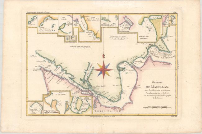
Subject: Strait of Magellan
Period: 1788 (circa)
Publication: Atlas Encyclopedique
Color: Hand Color
Size:
13.6 x 9.2 inches
34.5 x 23.4 cm
Download High Resolution Image
(or just click on image to launch the Zoom viewer)
(or just click on image to launch the Zoom viewer)