Catalog Archive
Auction 204, Lot 249
NO RESERVE - It's Not a Coast, But It Is a Survey
"Topographical Sketch of Sherman Station and Vicinity Albany County Wyoming Ty.", U.S. Coast Survey
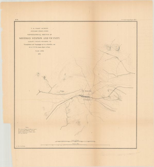
Subject: Southern Wyoming
Period: 1872 (dated)
Publication: Annual Report of the Superintendent...
Color: Black & White
Size:
11.3 x 11.8 inches
28.7 x 30 cm
Download High Resolution Image
(or just click on image to launch the Zoom viewer)
(or just click on image to launch the Zoom viewer)