Subject: Dallas, Texas
Period: 1942-43 (dated)
Publication:
Color:
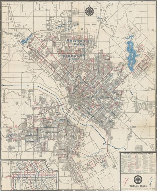
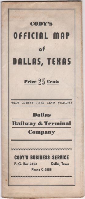
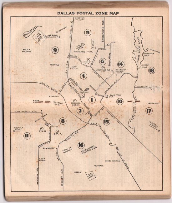
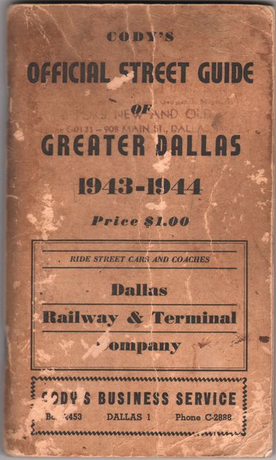
A detailed street map of the city by Myrtle Cody, an obscure female map publisher in Dallas. The map extends to Preston Hollow in the north and Honey Springs in the south, presenting detailed routes of street cars, motor coaches and feeder coaches along with real estate development. Includes an inset of the business district at lower left, while the verso contains a street index. Created by the Dallas Railway & Terminal Company. Self-folding into pictorial wrappers (4.0 x 9.7") with 25 cent price. The map is accompanied by Cody’s Official Street Guide for the following year. The 160-page guide features a centerfold map with the new postal zones and extensive listings for streets, hotels, churches, buildings, and more. Printed paper wrappers.
A. Cody's Official Map of Dallas, Texas , dated 1942, printed color (19.3 x 23.5"). Condition: Issued folding with two tiny splits at the fold junctions. (A)
B. Cody's Official Street Guide of Greater Dallas, published 1943, black & white (4.1 x 7.0"). Condition: Contents are mostly clean with some minor foxing to the centerfold map. Wrappers are soiled and worn. (B)
References:
Condition:
See description above.