Catalog Archive
Auction 204, Lot 240
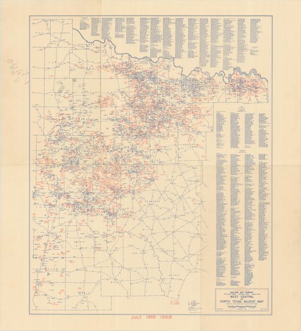
Remarkably Detailed Wildcat Oil Map
"West Central and North Texas Wildcat Map Showing Oil Fields, County Seats, and All Major Highways"
Subject: Central Texas
Period: 1955 (dated)
Publication:
Color: Printed Color
Size:
21.1 x 25.9 inches
53.6 x 65.8 cm
Download High Resolution Image
(or just click on image to launch the Zoom viewer)
(or just click on image to launch the Zoom viewer)