Subject: Oregon
Period: 1915 (circa)
Publication:
Color: Printed Color
Size:
27.9 x 20 inches
70.9 x 50.8 cm
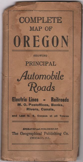
This detailed road map delineates counties in vibrant colors and presents the evolving road network in green overprinting. Congressional districts are outlined in red and street car lines are shown with dotted red lines. The map locates towns and cities, railroads, forest reserves, and much more. An inset at top depicts the vicinity of Portland. The verso features a population table by county (Oregon had 673,000 residents as of 1910) and an extensive index. Accompanied by the original paper wrappers (3.5 x 7.0") with title "Complete Map of Oregon Showing Principal Automobile Roads."
References:
Condition: B+
Clean and colorful with several short fold separations. The map is detached from its paper covers, which have dampstains and chips at top.