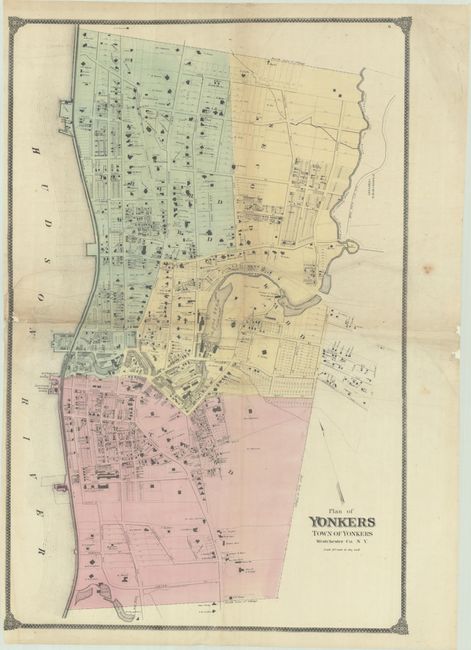
Subject: Yonkers, New York
Period: 1867 (circa)
Publication:
Color: Hand Color
Size:
21.1 x 32.1 inches
53.6 x 81.5 cm
This detailed plan of the city of Yonkers was issued in Beers' Atlas of New York and Vicinity. The map extends from Lake St. south to Ludlow St. and presents the street-grid pattern, individual buildings, property owners, land parcels, the Hudson River Railroad, Croton Aqueduct, and more. Drawn on a scale of 20 rods (330 feet) per inch.
References:
Condition: B
Contemporary color on thin banknote-style paper with some minor creasing. There are professional repairs to a long horizontal tear above the centerfold, a short tear, and several small separations along the centerfold. There is some minor loss along the left border that has been backed with archival material.