Subject: World
Period: 1862 (circa)
Publication:
Color: Hand Color
Size:
51 x 38.6 inches
129.5 x 98 cm
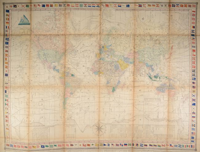
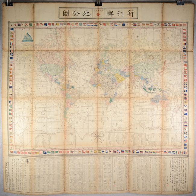
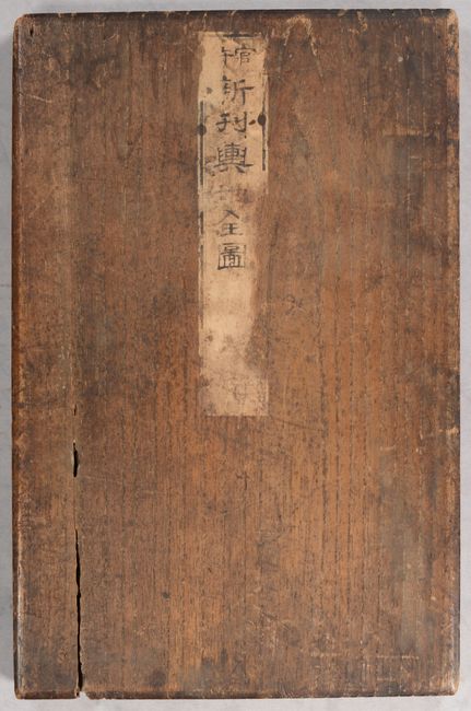
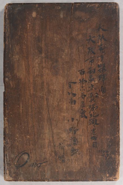
This mammoth and intricately detailed Japanese world map is drawn on Mercator's Projection. Countries are shown in various hand colors, place names are noted throughout, and there is good detail on physical features including topography and the river systems. Isothermal lines are drawn across the map and ocean current direction is indicated by small arrows. Interestingly, despite presenting a wealth of scientific information, the map still holds on to the outdated concept of the great southern landmass! The map is surrounded by a decorative border featuring various national flags with Japan's flag surmounted at top center. Further decorated by a 32-point compass rose at bottom. A substantial section of text below the map provides information on rivers and mountains, including their lengths/heights and on which continent they can be found. Along the right border of the map is information about the earth, plants and animals. Distance scales are provided in Japanese, Dutch, English and French. Engraved by Takeguchi Takisaburo and Uemura Fukusaburo and published by Yorozuya Heishiro in Edo (Tokyo). The full sheet measures 53.8 x 54.5" and folds into brown wooden boards (9.0 x 14.0").
References:
Condition: B
Issued folding with scattered foxing, occasional worm tracks, light toning along the fold lines, and a 1.0" x 0.5" hole at right (in Siberia) that has been closed on verso with old paper. There are numerous archivally repaired fold separations with some minor loss along the folds. Wooden boards have some cracks but are still fairly sturdy.