Subject: New York
Period: 1871 (dated)
Publication:
Color: Hand Color
Size:
28.4 x 25.2 inches
72.1 x 64 cm
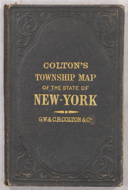
This large pocket map is dated 1852 in the copyright notice but has been updated to 1871 as indicated in the title. The map is filled with detailed information including county boundaries, villages, towns, roads, canals, and a large number of named railroads. A table of "Statistics of Population" at upper left indicates a population increase of 1.4 million people between 1840 and 1865, a remarkable 58% increase in only 25 years. Decorated with an elaborate vine and floral border. Drawn by George Colton and engraved by J.M. Atwood. Folds into original brown cloth boards (3.7 x 5.7") with gilt titling and embossed elements.
References:
Condition: B+
Contemporary color on a clean sheet with minor foxing and some tiny fold separations. Issued folding. Covers have light wear.