Subject: Northern New Jersey, Atlases
Period: 1873 (published)
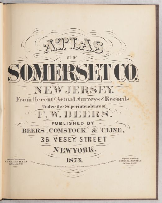
Publication:
Color: Hand Color
Size:
13.3 x 16 inches
33.8 x 40.6 cm
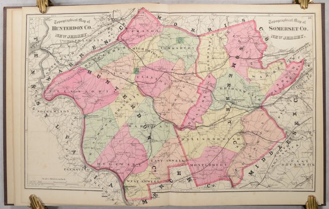
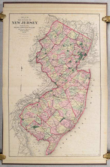
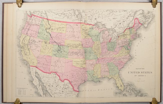
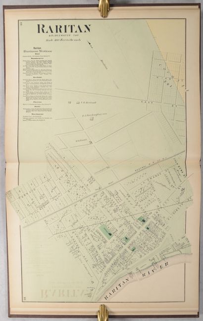
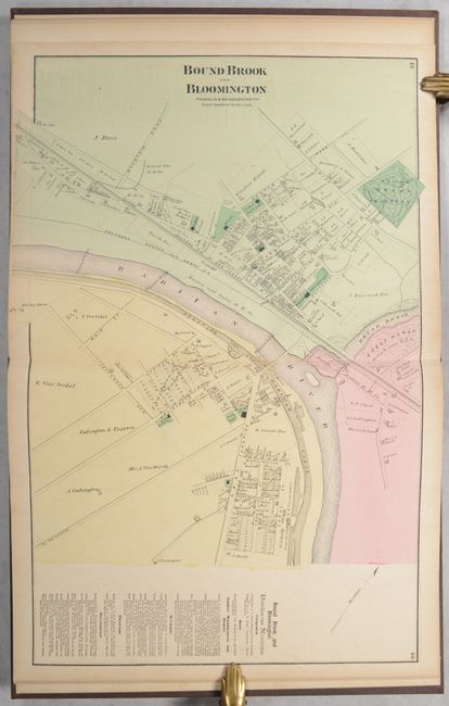
This county atlas features 19 hand-colored maps, including 10 that are double-page. The atlas begins with double-page maps of the United States, New Jersey, and combined Somerset/Hunterdon counties, followed by a series of detailed township and town/village maps. The maps identify railroads, roads, canals, rivers, and distances between locations in rods. Many also show property owners and business notices. Interestingly, the combined Somerset/Hunterdon counties map gives an erroneous date of 1777 for Washington’s Headquarters between Kingston and Rocky Hill at the bottom of the map. The actual date was 1783 while the Continental Congress was in nearby Princeton. Preceding the maps are three pages of tables, including the 1870 census for New Jersey. Hardbound in gilt-stamped cloth with leather spine.
References:
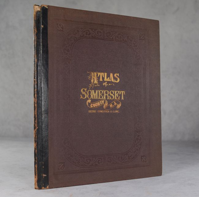
Condition: B+
The maps are mostly clean and bright with some occasional foxing and light offsetting. The map of Somerville has a small hole (0.25 x 0.5") along the lower centerfold. Covers have minimal wear and the spine is worn with small chips at top and bottom. Overall unusually nice condition for an atlas of this period.