Catalog Archive
Auction 204, Lot 201
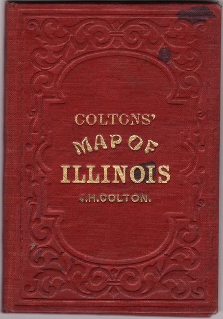
"Colton's Illinois", Colton, Joseph Hutchins
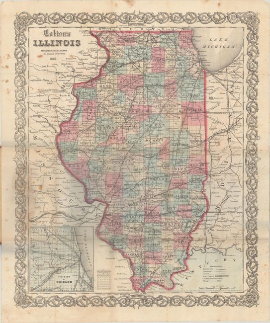
Subject: Illinois
Period: 1860 (dated)
Publication:
Color: Hand Color
Size:
12.8 x 15.6 inches
32.5 x 39.6 cm
Download High Resolution Image
(or just click on image to launch the Zoom viewer)
(or just click on image to launch the Zoom viewer)