Subject: Colorado
Period: 1943 (dated)
Publication:
Color: Printed Color
Size:
36 x 22 inches
91.4 x 55.9 cm
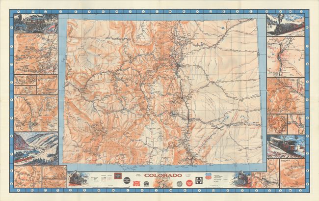
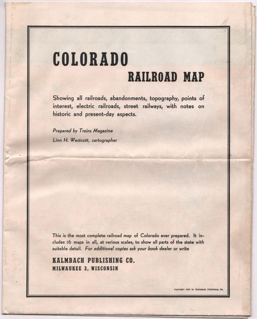
This highly detailed map of the state was drawn by Linn Westcott for Trains Magazine which began publishing in 1940. It presents a remarkable view of the railroad network in the state, with a legend at bottom identifying railroads in operation, abandoned, and projected as well as railroad type including electric, rack and pinion, and narrow gauge. Notations on the map include "first railroad abandoned in Colorado, 1877," "53 miles, no curves," and "lowest point in Colorado." The map also presents an excellent view of the river systems and mountainous terrain through orange shading. Surrounding the main map are vignette illustrations of various locomotives and smaller regional maps. Extensive index on verso. Issued by Kalmbach Publishing, who state that "this is the most complete railroad map of Colorado ever prepared." Train Magazine is still in operation today.
References:
Condition: A
Clean and colorful with a hint of color offsetting. Issued folding.