Subject: Colorado
Period: 1925 (circa)
Publication:
Color: Printed Color
Size:
19.6 x 14.1 inches
49.8 x 35.8 cm
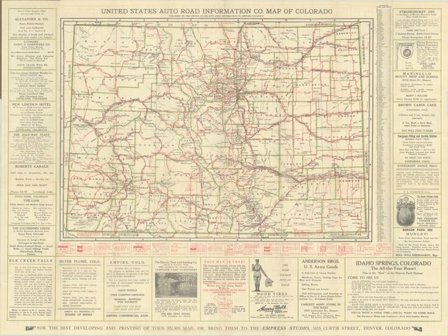
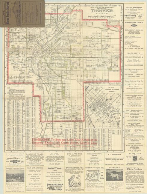
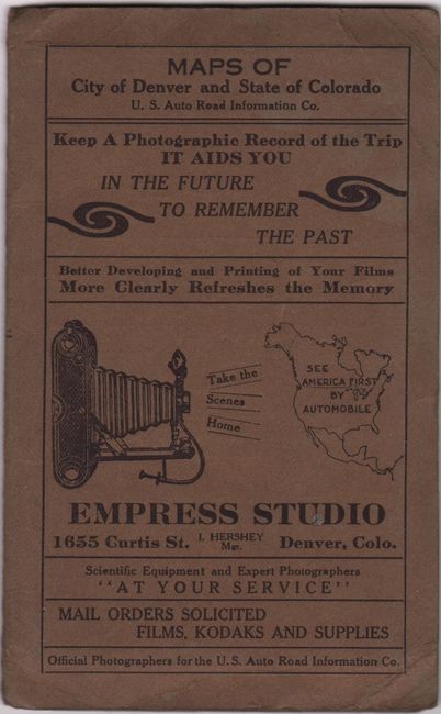
This early road map of Colorado was published by the United States Auto Road Information Company. Counties are delineated in green outline color with the road network identified in red overprinting including main auto roads (surfaced), main auto roads, and secondary roads. Mileages are noted between locations and a fascinating summary of highway signage is shown below the map including the Golden Belt Highway, Lincoln Highway, Rainbow Route, National Old Trails Road, and many more. Local advertisements surround the map on three sides. The verso features a large map of Denver, an inset of the business district, index, and additional advertisements. Folds into paper wrappers. We found no past sales records for this map and only one institutional example on OCLC (Princeton).
References:
Condition: A
Issued folding on a clean sheet with a couple of tiny splits at the fold junctions. Paper wrappers are lightly creased in the corners.