Subject: Southern Arizona
Period: 1901 (published)
Publication:
Color: Black & White
Size:
11.3 x 7.6 inches
28.7 x 19.3 cm
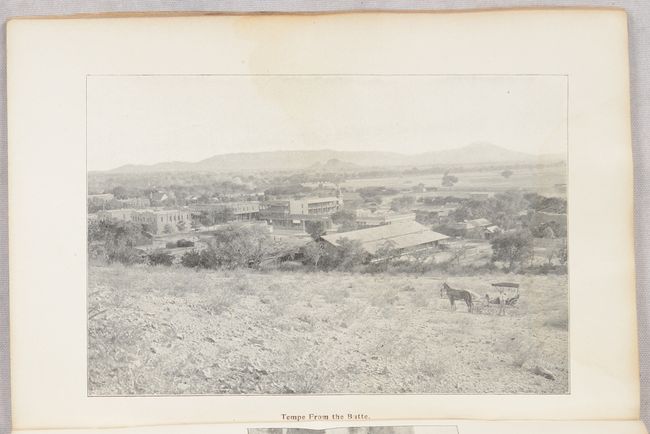
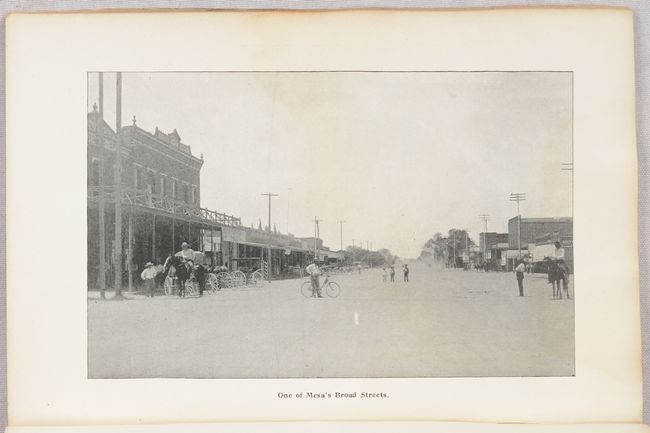
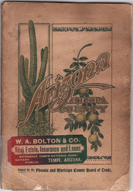
This small map is roughly centered on Phoenix and locates the small towns of Mesa, Tempe, and Scottsdale. Canals, railroads, school houses, and townships are prominently depicted. Includes insets of Arizona, Maricopa County, and a map of Connecticut and Rhode Island showing Maricopa County larger than both combined. The map folds into the back of James McClintock's Arizona with Particular Attention to Its Imperial County of Maricopa. The 64-page volume includes 62 photographic illustrations including full-page views of Tempe and Mesa. Text offers the reader detailed information on climate, early settlements, irrigation, mining and the characteristics of the principal cities and towns. Phoenix, for example, has “a remarkably good sort of population, predominately American with an unusually high standard of education and intelligence…The city is well fed and the hotels show it…All the ‘modern improvements’ are here – even golf.” At the time the county’s population was 28,000 and Phoenix’s was 14,000, but it’s clear the local officials had great aspirations for the county that have certainly been realized. Maricopa County’s population currently is about 4.6 million. Published by the Board of Supervisors of Maricopa County. We found no past sales records for this publication.
References:
Condition: B
Folding map is on thin paper, which is toned with some dampstaining at top. Text has some rippling and a faint dampstain occupying the upper two-thirds of each sheet throughout. Wrappers are soiled with a few chips at bottom and advertising stickers on both wrappers.