Catalog Archive
Auction 204, Lot 157
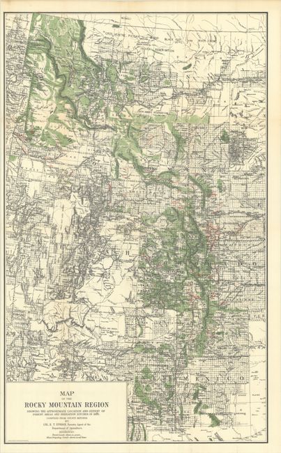
"Map of the Rocky Mountain Region Showing the Approximate Location and Extent of Forest Areas and Irrigation Ditches in 1885...", U.S.D.A.

Subject: Western United States
Period: 1885 (circa)
Publication:
Color: Printed Color
Size:
19 x 31 inches
48.3 x 78.7 cm
Download High Resolution Image
(or just click on image to launch the Zoom viewer)
(or just click on image to launch the Zoom viewer)

