Catalog Archive
Auction 203, Lot 665

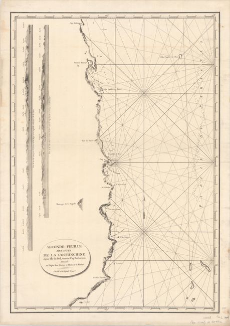
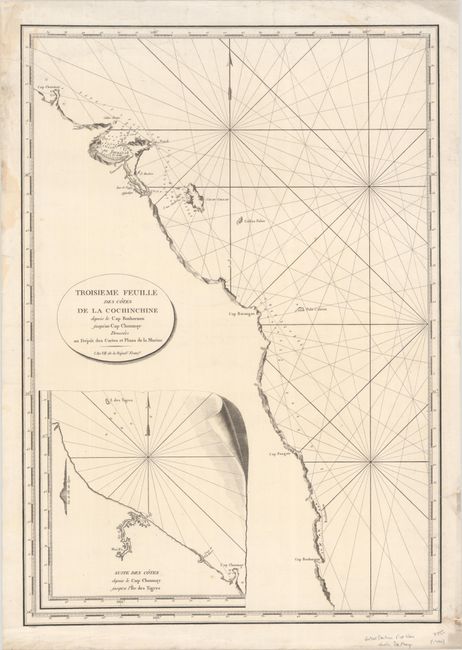
"[Lot of 2] Seconde Feuille des Cotes de la Cochinchine Depuis l'Ile de Buil Jusqu'au Cap Boxhornen... [and] Troisieme Feuille des Cotes de la Cochinchine Depuis le Cap Boxhornen Jusqu'au Cap Choumay...", Depot de la Marine

Subject: Vietnam

Period: 1798 (dated)

Publication:

Color: Black & White

Size:
19.1 x 27.4 inches
48.5 x 69.6 cm
Download High Resolution Image
(or just click on image to launch the Zoom viewer)

This pair of nautical charts detail the eastern coastline of Vietnam from approximately Nha Trang to Da Nang. Soundings, place names, and navigational hazards along the coastline are given. The first sheet (Seconde Feuille) contains engraved views of the coastline, while the second sheet (Troisieme Feuille) includes an inset map of the coastline north of Da Nang. Each map stands on its own with a title cartouche and full borders.

References:

Condition: A

Sharp impressions on bright sheets with a "Vander Ley" watermark, a few minor spots, and marginal soiling. There are several short edge tears, a couple that just enter the map border, that have been archivally repaired on verso.

Estimate: $275 - $350

Sold for: $200

Closed on 4/23/2025

Archived