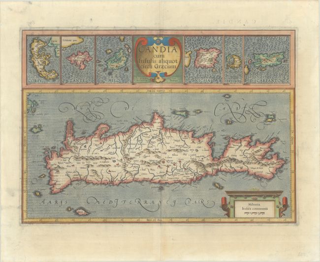
Subject: Crete & Aegean Islands
Period: 1633 (published)
Publication: Gerardi Mercatoris et I. Hondii Atlas
Color: Hand Color
Size:
18.8 x 13.3 inches
47.8 x 33.8 cm
This attractive sheet contains seven maps. The large map features the island of Crete and locates towns, villages, rivers and the topography of the island. Above this are smaller inset maps of the islands of Corfu, Zante, Milos, Naxos, Santorini and Scarpanto flanking the strapwork title cartouche. French text on verso.
References: Van der Krogt (Vol. I) #7900:1A.1; Zacharakis #1454.
Condition: B+
A sharp impression on a sheet with a large "V" watermark. There are two tears within the distance scale that have been archivally repaired on verso, and the centerfold and bottom edge of the sheet have been archivally reinforced on verso. Remnants of hinge tape on verso.