Catalog Archive
Auction 203, Lot 596
"Isles de Cypre", Mallet, Alain Manesson
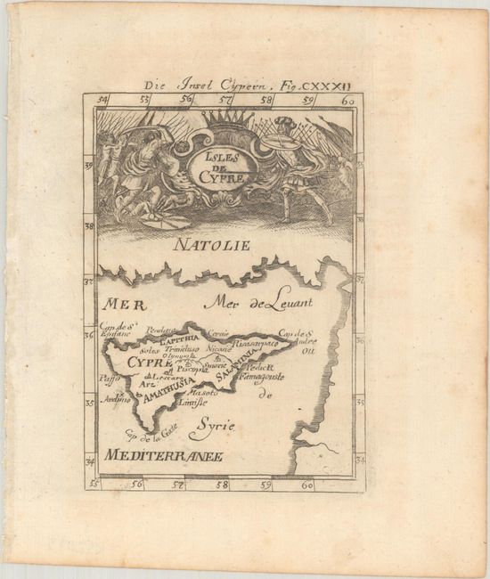
Subject: Cyprus
Period: 1719 (circa)
Publication: Beschreibung des Gantzen Welt-Kreisses...
Color: Black & White
Size:
3.9 x 5.6 inches
9.9 x 14.2 cm
Download High Resolution Image
(or just click on image to launch the Zoom viewer)
(or just click on image to launch the Zoom viewer)